
If you're building a flight tracker, a map, or anything that needs to know where aircraft are right now, you need an ADS-B API. The raw hobbyist feeds — adsb.lol, the OpenSky Network — will hand you positions, and for a weekend project they're great. But raw is exactly the problem in production: you get an icao24 hex code and a lat/lon, and then you're on your own to turn that into "United 787 from Newark." Here's how the ADS-B API works, and why enriched-in-one-call changes what you can build.
What ADS-B gives you
ADS-B is the signal every modern aircraft broadcasts about itself — its GPS position, altitude, speed, and heading — several times a second. An ADS-B API is a network of receivers that collects those broadcasts and serves them to you over HTTP. The core query is geographic: give it a bounding box or a radius around a point, and it returns every aircraft currently in that airspace.
# Every aircraft in a bounding box (SW corner, NE corner)
curl "https://skylink-api.p.rapidapi.com/adsb/aircraft?bbox=51.2,-0.8,51.5,-0.3" \
  -H "X-RapidAPI-Key: $RAPIDAPI_KEY" \
  -H "X-RapidAPI-Host: skylink-api.p.rapidapi.com"
Raw vs enriched
Here's the difference that matters. A raw feed returns position and a hex address. SkyLink API returns the position and the aircraft's identity, resolved for you, in the same response:
{
  "aircraft": [
    {
      "icao24": "0A0022",
      "callsign": "DAH2055",
      "latitude": 51.274109,
      "longitude": -0.675964,
      "altitude": 9075.0,
      "ground_speed": 298.3,
      "track": 153.09,
      "vertical_rate": 2880.0,
      "is_on_ground": false,
      "registration": "7T-VJP",
      "aircraft_type": "Boeing B738",
      "airline": "Air Algerie"
    }
  ],
  "total_count": 67,
  "timestamp": "2026-06-16T14:21:49.178448"
}
The registration, aircraft_type, and airline fields are the enrichment. With a raw feed you'd get icao24 and have to run your own lookup against an aircraft database to fill those in — for every aircraft, on every poll. Here they arrive already joined. If you want to do the join yourself from a hex code, the Mode S / ICAO24 lookup is the same data the enrichment draws on.
Adding the route
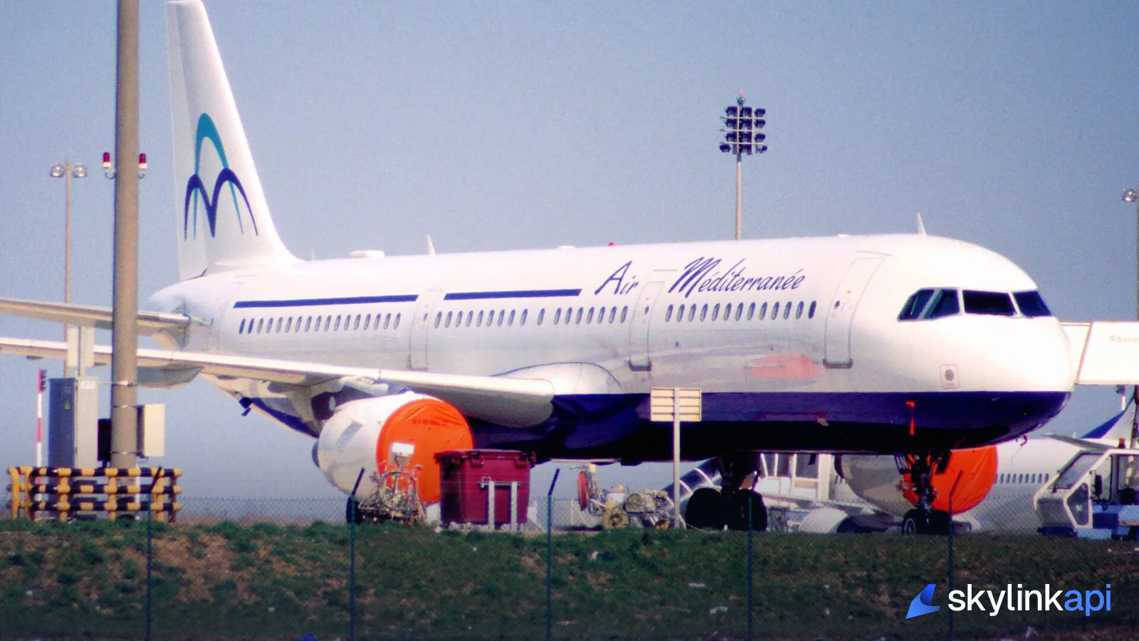
Position plus identity still doesn't tell you where a flight is going. Chain the callsign → route endpoint and you get origin and destination for a flight's callsign, so DAH2055 becomes "Air Algérie, Algiers → London." Positions, aircraft metadata, and route — the three things a real tracker needs — come from one integration instead of three datasets you maintain yourself. That chaining is exactly how a consumer tracker is assembled, as we cover in how Flightradar24 works.
Polling it sensibly
ADS-B positions refresh every few seconds, so poll on a sane interval and cache — don't hammer the endpoint once per user. A single poll of a busy bounding box every 5–10 seconds keeps a live map current without burning quota:
import requests

BASE = "https://skylink-api.p.rapidapi.com"
HEADERS = {"X-RapidAPI-Key": KEY, "X-RapidAPI-Host": "skylink-api.p.rapidapi.com"}

def fleet(bbox):
    r = requests.get(f"{BASE}/adsb/aircraft", headers=HEADERS,
                     params={"bbox": bbox}, timeout=10)
    r.raise_for_status()
    return r.json()["aircraft"]

for ac in fleet("51.2,-0.8,51.5,-0.3")[:5]:
    print(ac["callsign"], ac["aircraft_type"], ac["airline"], int(ac["altitude"]), "ft")
The full walkthrough — map rendering, retries, caching — is in build a real-time flight tracker in Python. For fleet-wide counts rather than individual aircraft, the adsb/aircraft/statistics endpoint returns totals (airborne, on-ground, altitude stats) in a single call.
How it compares
| SkyLink API | adsb.lol / OpenSky | |
|---|---|---|
| Live positions (bbox / radius) | Yes | Yes |
| Registration, type, airline | In the same call | You join it yourself |
| Callsign → route | Yes (chained) | No |
| Support & SLA | Yes (paid tiers) | Community / best-effort |
| Free tier | 1,000 req/mo | Free (rate-limited) |
Competitor details reflect public positioning as of mid-2026 — verify before committing.
The raw feeds are excellent for what they are: free, community-run, hacker-friendly. The trade is labor — you become the integrator of positions, an aircraft database, and a route source. An enriched API collapses that into one call, which is the difference between a weekend experiment and a product you ship.
SkyLink API gives you a free tier of 1,000 requests/month of enriched ADS-B, with paid plans starting at $18.59/mo for production traffic. It's available through the free trial — sign up, grab a key, and get positions, identity, and route without running a receiver network.