
"This is your captain speaking — we've reached our cruising altitude of 37,000 feet." It sounds like a round number picked for comfort, but almost nothing about a jet's cruising altitude is arbitrary. The height, the exact thousands of feet, even whether it ends in an odd or even number are all governed by physics, fuel economy, and a global set of traffic rules. Here's how airlines actually choose how high to fly.
Why airliners cruise so high
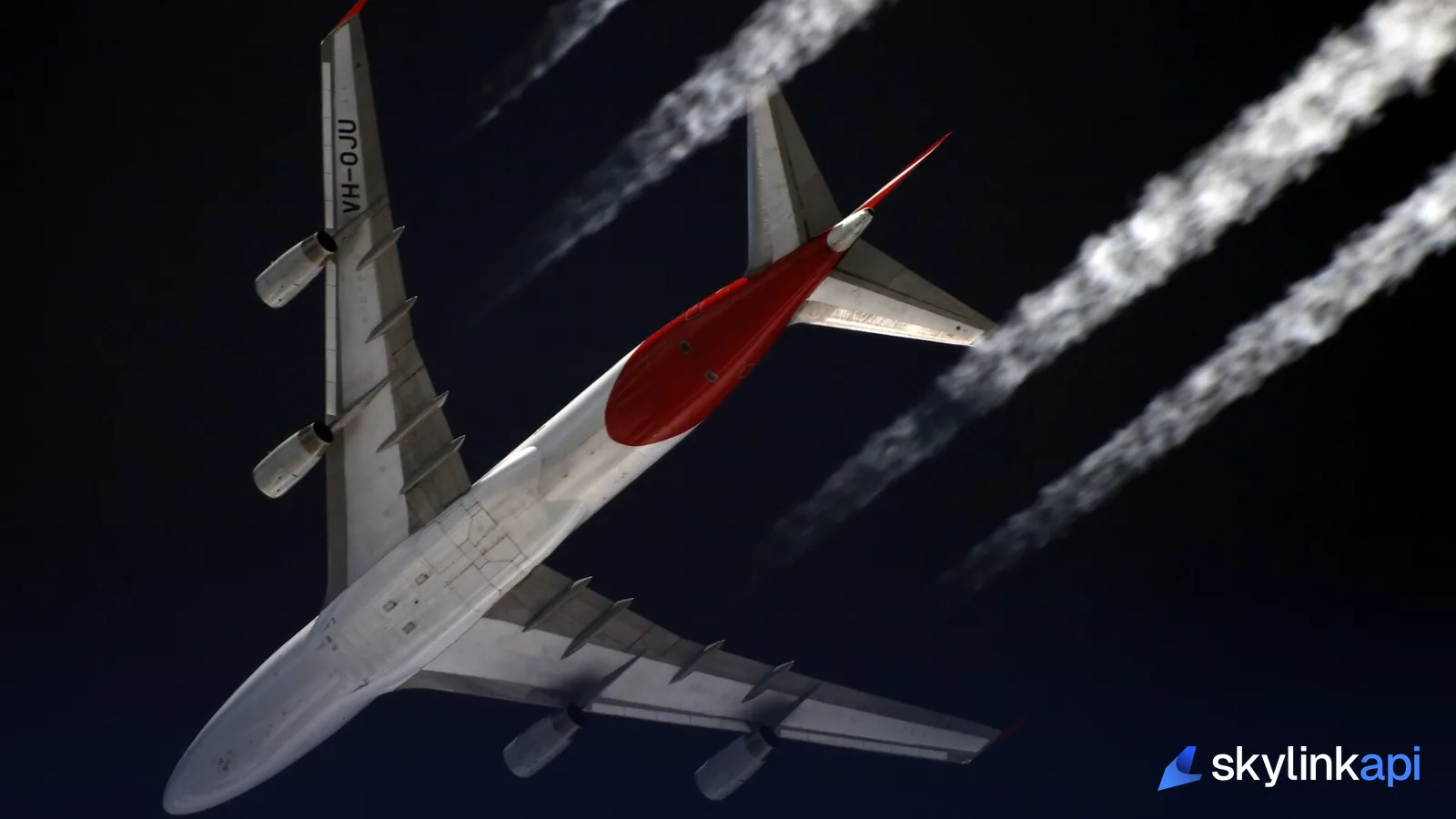
The short answer is thin air. At 35,000–40,000 feet the atmosphere is roughly a quarter as dense as at sea level, which means far less aerodynamic drag — so a jet burns dramatically less fuel to hold the same speed. Jet engines are also more efficient up there, and the true airspeed for a given effort is higher. On top of the fuel case, cruising high puts the aircraft above most weather (the turbulence, storms, and icing live lower down) and above slower traffic, in the smooth, stable air of the upper troposphere. The limit is the aircraft's weight and its wings: fly too high for your current weight and the margin between low-speed stall and high-speed buffet shrinks to nothing — the "coffin corner."
Flight levels and the east-west rule
Above a transition altitude, aircraft stop using height above sea level and switch to flight levels — altitude measured against a standard pressure setting (29.92 inHg / 1013 hPa) so everyone's altimeter agrees. A flight level is just that pressure altitude in hundreds of feet: FL350 = 35,000 feet.
Which levels a flight can use depends on the direction it's heading, under the semicircular (east-west) rule. In most of the world, aircraft on an easterly magnetic track (000°–179°) fly odd thousands — FL290, FL310, FL330 — while those heading west (180°–359°) fly even thousands — FL300, FL320, FL340. That single convention keeps opposite-direction traffic naturally separated by altitude, which is why a plane crossing the country one way is always a thousand feet offset from one coming back.
RVSM: doubling the sky's capacity
Between FL290 and FL410, that 1,000-foot spacing only exists because of RVSM — Reduced Vertical Separation Minimum. Until the early 2000s, aircraft above FL290 had to be separated by 2,000 feet vertically, because altimeters at high altitude weren't trusted to be precise enough. RVSM halved that to 1,000 feet, effectively doubling the number of usable levels in the most valuable, fuel-efficient band of airspace. The trade-off is strict: to fly RVSM airspace an aircraft needs certified high-precision altimetry and an autopilot that holds altitude tightly. It's one of the quiet pieces of engineering that let air traffic keep growing without gridlock at cruise.

How the optimum altitude is actually chosen
Within those rules, the crew and the airline's flight plan pick the level that burns the least fuel — and that changes during the flight. A heavy aircraft early in a long haul can't climb as high, so it cruises lower and then step-climbs — moving up to the next available level (FL350 → FL370 → FL390) as it burns off fuel and gets lighter. Winds matter too: it's often worth flying a slightly less efficient altitude to catch a tailwind or dodge a headwind, which ties directly into the winds aloft forecasts dispatchers pore over. And the final say belongs to ATC, which may not have your requested level free. The result is a negotiated compromise between physics, weather, and traffic — rarely a round number for its own sake.
Reading flight levels from live data
Every one of those altitude decisions is visible in the ADS-B broadcast, because each aircraft transmits its pressure altitude continuously. Pull a slice of airspace and you can watch the eastbound/westbound level structure emerge in the data:
# Aircraft above FL290 over the North Atlantic track region
curl "https://skylink-api.p.rapidapi.com/adsb/aircraft?bbox=48,-30,58,-10&altitude=29000-45000" \
  -H "X-RapidAPI-Key: $RAPIDAPI_KEY" \
  -H "X-RapidAPI-Host: skylink-api.p.rapidapi.com"
Divide each aircraft's altitude by 100 and you've got its flight level; sort by heading and the odd/even split falls right out. It's the same ADS-B endpoint behind any live tracker, and a neat way to see the semicircular rule working in real traffic.
SkyLink API gives you a free tier of 1,000 requests/month of live ADS-B to explore, with paid plans starting at $19/mo for production. It's available through the free trial — sign up, grab a key, and read the flight levels straight from the sky.